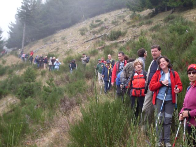
There are many paths that can be walked in the woods near Lorica.
They were identified by the C.A.I. (Italian Alpine Club), section of Cosenza and traced by numerous young people coordinated by Dr. Antonio Rizzuti.
The signs are placed at high points and are visible from both directions of travel, at every 5/10 minute walk.
The distances between the signs have been reduced in view of crossroads or other difficulties present on the ground.
Thus, 9 paths have been marked and realized whose length is variable but which, combined with each other, count a total of about 100 km.
For the more 'experienced' of legs, we recommend the Italian path that reaches Botte Donato (mt.1928) the highest peak of the plateau, or the path that leads to Mount Perillo (mt:1,776) from which you can see Lake Arvo and all Lorica, as well as the clearing of Charlemagne (mt.1.670).
For the excursion in these mountains we recommend contacting expert guides who can be found in the area. For a relaxing walk with the family, instead we recommend the other paths around Lorica where it is often possible to meet black squirrels with white breasts that now live undisturbed in the area.
This guide has been translated automatically through a third party service. Visititaly offers these automatic translations to help site visitors, however the automatic translations may contain inaccuracies, errors or inaccuracies. You can contact us to report inaccuracies or errors and we will check the translation.